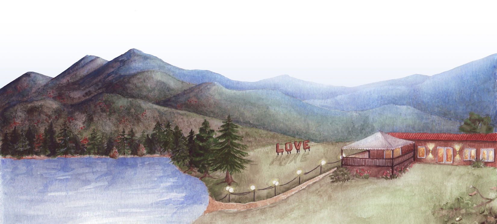
DIRECTIONS
Service can be spotty as you get close! Also, older GPS devices have led visitors astray in the past- we recommend downloading/printing the directions just to be safe.
Click this link to download printable directions.
FROM CHARLOTTESVILLE
1. Merge onto US-250 W
2. Take the Barracks Road exit toward VA-654.
3. Turn right onto Barracks Rd.
4. Barracks Rd becomes Garth Rd.
5. Garth Rd becomes Browns Gap Turnpike/VA-614/VA-810.
6. Turn slight right onto Browns Gap Turnpike/VA-810.
7. Turn left onto Slam Gate Rd.
8. Take the 1st right into Montfair (Bezaleel Dr)
FROM I-64, CROZET EXIT 107
1. Take Crozet exit 107 and go East on Route 250
2. At 3rd light, take left onto Route 240
3. Follow 240 into Crozet, continue straight after railroad trestle
4. Follow approximately 6 miles to White Hall
5. At the stop sign at Wyant’s grocery take a left
6. Immediately you will see Piedmont Store ahead of you, bare sharp right
7. Montfair is 3.5 miles from Piedmont store on the left. You will pass a sign for White Hall Vineyards. Look for green county road sign that says “Slam Gate Road on your left”
8. Take left onto Slam Gate Road
9. Drive to top of hill
10. See Montfair sign on the right and take right onto Bezaleel Drive